Help track trash as part of the 2021 Mississippi River Plastic Pollution Initiative

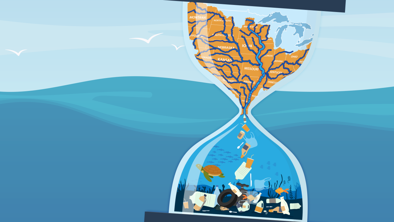
FMR is proud to be a partner for the 2021 Mississippi River Plastic Pollution Initiative. Led by the Mississippi River Cities & Towns Initiative (MRCTI), the United Nations Environment Programme, National Geographic Society and the University of Georgia, this initiative will quantify and address plastic pollution along the Mississippi. Using community science in key areas on the banks of the Mississippi, volunteers will collect data that will be used to generate a plastic pollution map. The map will help scientists understand how plastic pollution along the river contributes to marine health, as well as help policy makers take action to combat plastic pollution.
Clean river, clean seas
Up to 80% of marine plastic originates from land-based sources. As we are situated near the top of one of the world's greatest waterways, we can take direct action to reduce plastic pollution, in our river and in the ocean.
The early phase of this initiative will focus on trash collected in Baton Rouge, St. Louis and the Twin Cities. The data gathered in these locations will be analyzed to understand the state of plastic litter along the river's banks.
Get involved
Now through April 25, community members are encouraged to download the Debris Tracker app, and log any trash they collect, and where they collect it. Volunteers can log trash from anywhere, even if it is not directly on a river bank.
You can download Debris Tracker, select the MRCTI list and start logging trash today! You can also download the Mississippi River Citizen Science Field Guide to learn more about how to use the app, and how to collect data easily and safely. If you're interested in a training, you can see upcoming times and sign up here.
If you need more support with the app or are interested in helping us track targeted areas near the Minneapolis River Gorge, join us for our Earth Day cleanup on April 24th. Or, sign up for updates from 1 Mississippi to be directed towards sites where cleanups are needed.
Here is a step-by-step guide to start collecting data today:
1. Download the Marine Debris Tracker on Android or iOS
• Debris Tracker is a free app used by community scientists to record geospatial data on litter.
• Open the app and allow it to access your location to mark where you're finding litter.
• Click "Start Tracking" and select the list named MRCTI. You're ready to start tracking litter!
2. Download the Mississippi River Citizen Science Field Guide
• The guide will provide detailed information on how to use the app, and how to collect data easily and safely.
• Review the options for data collection and plan when and where you'll collect data.
3. Collect data
• You can collect data alone, in pairs or in a group, anywhere you are.
• Log in to the Debris Tracker and record the items you find by selecting the type of litter and tapping the "Add" button. You can also upload photos to your log.
• When you're finished, click "Upload Session." A checkmark will appear when it's complete.
More events
To receive the most up-to-date notices of all of our volunteer opportunities and events, sign up for our twice-monthly e-newsletter, Mississippi Messages or contact Volunteer & Outreach Coordinator Sophie Downey, volunteer@fmr.org or 651.222.2193 x27. You can see a full list of our upcoming volunteer events on our calendar.