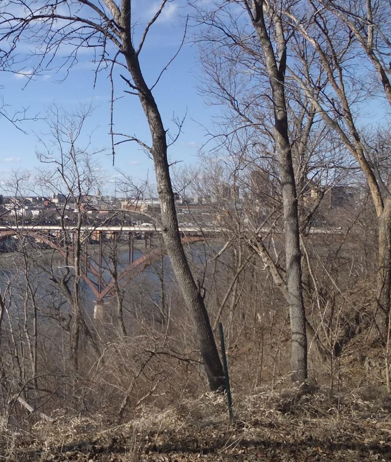
Whose view? From where? — December 2015

We had two correct responses to last month's view of the High Bridge in St. Paul, each with a very nice description.
Brian Nerbonne included some fun trivia, along with a heads-up for commuters:
"December’s photo is of the High Bridge in St. Paul looking north and east from the top of the bluff in Cherokee Regional Park. The original bridge was built in 1889, and at the time was the second highest and longest span in the nation. The current version, completed in 1987, is set for a resurfacing in 2018 when it will be closed for one construction season. Start planning your detours now!"
Tom Schuster writes:
"This is a picture of the Smith Avenue High Bridge in St. Paul. It was taken looking north across the river from the bluff on the east side of the river, probably from somewhere in Cherokee Park or just north of there. In this picture the river is flowing north as it makes the big bend around St. Paul’s West Side neighborhood. This is a great place to walk and offers a fantastic view of the iconic bridge and St. Paul with the Capitol and the Cathedral of St. Paul in the background."
About “Whose view? From where?”
Each month in this section, we feature a photo somewhere along the river corridor in the Twin Cities that is significant in some way or just plain scenic. Individuals may then email us, identifying the view and explaining how they see it's importance on either a community or personal level. The best responses are published in the next issue of Mississippi Messages when the location is revealed to all.