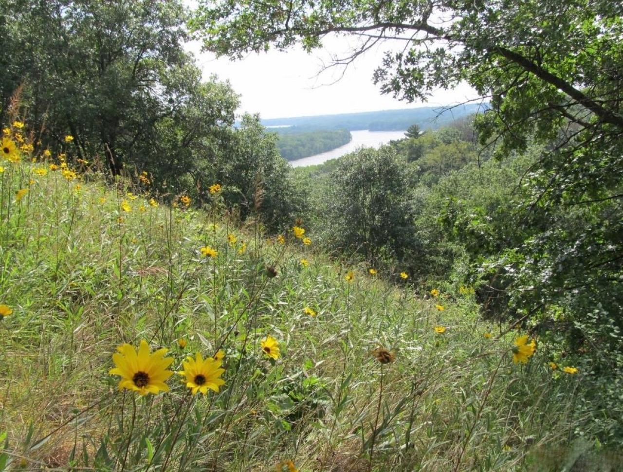
Whose view? From where? — October 2016

October's view was correctly identified by longtime FMR member Tom Bell: "This photo was taken from the west bank of the Mississippi River in Inver Grove Heights. The scene features the Pine Bend area where the river turns mostly east toward Hastings. It was probably taken in the part that's an SNA [Scientific and Natural Area]. It's an exciting portion of the river, large tows [barges] going against the current have a couple of difficult turns to navigate."
FMR helped protect the Pine Bend Bluffs Scientific and Natural Area in 2002 and has been working with the Minnesota Department of Natural Resources and hundreds of volunteers to restore it ever since. Learn more about this high-quality ecological site and these efforts on our Pine Bend page. If you'd like to be notified of future Pine Bend Stewards events with FMR ecologists at this stunning site (we have about four a year), contact FMR Volunteer Coordinator Amy Kilgore, akilgore@fmr.org.
Each month in this section, we feature a photo somewhere along the river corridor in the Twin Cities that is in some way significant or important or just plain scenic. Individuals may then email us and identify the view and explain why they believe it is significant to the community or important to them personally. We'll publish some of your responses in the next issue of Mississippi Messages, where we will also reveal the correct answer.