What's in the new River Corridor rules?
Update: January 2026
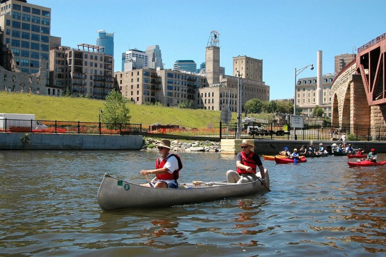
By late 2025, all 25 cities and townships in the Mississippi River Corridor Critical Area completed the process of adopting updated critical area ordinances. This accomplishment is thanks to FMR River Guardians and supporters for nearly two decades of advocacy. Learn more about how these improved rules protect the metro Mississippi.
March 3, 2020
Protecting our riverfront together
As our 25 metro river cities and townships craft new rules for land use and development throughout our metro Mississippi, FMR is proud to serve as a resource for metro river city planners, local decisionmakers and everyday residents.
While each corridor community will write its own MRCCA ordinance, the state has set some rules about minimum standards that must be included. These rules have been assembled into a “model ordinance” that most cities will use as a template.
We’ve put together guides, videos and maps to explain the rules, the model ordinance and opportunities for your community to add extra protection for its special riverfront features.
What’s in the new rules?
To watch full-screen, hit 'play' then click the square in the lower right corner. (Transcript available here.)
MRCCA model ordinance
MRCCA Model Ordinance was developed by the Minnesota Department of Natural Resources (DNR). Most corridor cities and townships will use this model ordinance as the starting point for developing their own ordinances. It includes all of the language and standards required by the state rules, which were developed through years of stakeholder engagement. We've provided several resources for understanding the model ordinance:
-
A Field Guide to the MRCCA Model Ordinance: this is a quick introduction to what cities will need to include in their model ordinance. It's also a useful reference for advocates trying to understand and apply their community's ordinance after adoption.
-
MRCCA Model Ordinance: this is the DNR's model ordinance that most cities will use as a template for their ordinance.
-
MRRCA Optional Provisions Guide: this document includes several recommendations from FMR and the DNR to help cities customize their ordinance to their unique community context.
MRCCA districts
Because the areas surrounding the river are so diverse, there are six different land use designations, or districts, throughout the corridor. These different districts reflect the character of these areas and provide guidance for existing and planned development.
Some elements of the MRCCA rules are the same throughout the entire Critical Area. Others, like building height and setback limits or open space requirements, vary by district. MRCCA rules are not a cookie-cutter approach.
We've created an interactive map that allows you to type in any address to find out whether it's within the Critical Area, and if so, in which district.
Click on the MRCCA districts, shown in various colors, to understand the district's character and development limits. Click on any city name to see its MRCCA ordinance progress. Zoom in or go full screen (using the box button on the upper right) for better viewing.
If you prefer a PDF version of the district maps, they're available here in order from north to south:
- Dayton to Anoka
- Anoka to Brooklyn Park
- Brooklyn Park to Minneapolis
- Minneapolis
- St. Paul to Newport
- Inver Grove Heights to Denmark
- Hastings to Ravenna
Stay in touch!
Sign up to be a River Guardian and we'll be in touch when there are opportunities to influence your local river rules and important river-related state policies.
Questions? Contact FMR Land Use & Planning Program Director Colleen O'Connor Toberman, ctoberman@fmr.org, 651.477.0923.