What's it like to walk to the river in North Minneapolis?
What's it like to walk to the river along Dowling Avenue North in Minneapolis? Harsh, inspiring and beautiful are all words that were used when we joined neighbors in lacing up our walking shoes and heading to the river on two warm evenings in September 2017.
With great change on the horizon for where Dowling meets the Mississippi at Upper Harbor Terminal (including new riverfront parkland!), we walked and talked and imagined the possibilities. We'd hoped that bringing people to these spaces would spark interest in advocating for improved public access to the riverfront and we were not disappointed. We hope you'll join us too!
After filling up on local pizza, we hit the concrete heading east toward the Mississippi River. Our destination: the former Minneapolis port, a.k.a. Upper Harbor Terminal, slated to be transformed into parkland and private development. While the Northside neighborhoods extend east all the way to the river, it feels like they end four blocks west of it at the I-94 interchange — our first stop.
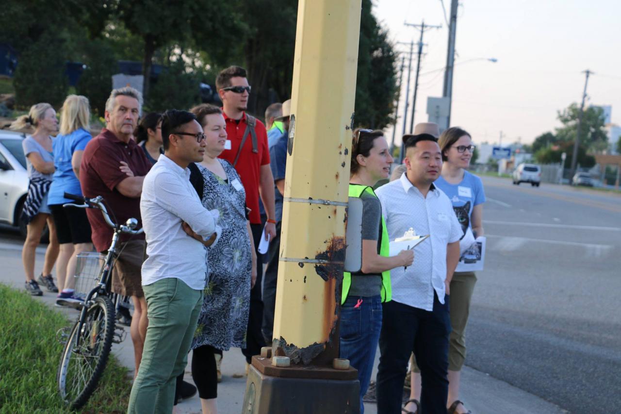
A group of walkers at North 6th Street and Dowling Avenue North — what feels like the eastern edge of the Northside neighborhoods. Can you see the river in the background of this picture? It's only four blocks away!
As we paused, neighbors passionately described the area: fast traffic, too busy, huge vehicles, backed up traffic, cars in the bike lane, bike lane isn't safe to use, crosswalk isn't marked, sidewalk is broken. All in all, fellow walkers agreed it is a very inhospitable environment for walking or biking.
With an equal amount of passion, residents shared ideas to improve the area, suggesting consistent and enforced speed limits, creating a space separated from cars for people to walk or bike (and possibly widening the road to create such a space), bike education so people know where to bike, a kiosk to welcome people to the neighborhood like you'd see at I-35W and East 46th Street.
Then we carefully crossed the freeway ramps (several vehicles screeched to a halt) and walked to the middle of the Dowling Avenue North bridge over I-94.
A 360-degree view from the Downling Avenue Bridge with the connection to the majority of Northside residences on one side, I-94 below, and Upper Harbor Terminal and the river (behind the domes) on the other. and the rest of the path to the river.
As we walked to the middle of the bridge, neighbors brainstormed how it could be made welcoming or even iconic. One mentioned painting the entire bridge green. Many imagined replacing the chainlink with more artistic fencing or encouraging the existing vines to continue to cover the fence.
Others envisioned more space for pedestrians and bicyclists with a barrier separating the space from cars. This took the form of everything from a separate, adjacent pedestrian bridge like the Martin Olav Sabo Bridge across Hiawatha Avenue in south Minneapolis, to something more like the new 26th Avenue North greenway a mile south of Dowling Avenue North.
While admiring the downtown skyline, many brainstormed ways to make this an enjoyable space to visit with friends or family, such as adding benches, shade trees, planters, pedestrian-scale decorative lighting and a sound and wind barrier. Others mentioned wanting wayfinding signage and sidewalk art to improve the experience. Some even dreamed of capping the freeway from Dowling all the way down to the Lowry Bridge with parkland and an event space.
While many different ideas circulated, all agreed that with some changes, this would be a spot they would love to spend more time.
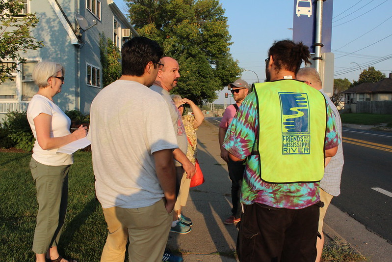
A scan with the Washington and Dowling Avenue North intersection in the background — currently a major route for pedestrians and vehicles traveling to and from downtown Minneapolis, to the I-94 bridge and the Northside neighborhoods.
As we approached the Dowling and Washington Avenue North intersection, many people pointed out how the roads do not align. Some noted that if the Dowling bridge and roadway was widened down to Washington, the road would be straightened a bit.
Many neighbors thought this would be a good place for a welcoming physical gateway to the new park, including perhaps an archway made of reclaimed Upper Harbor Terminal materials with park-like greening extended out to this area.
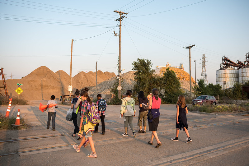
A group of our younger walkers headed across the railroad tracks and into the Upper Harbor Terminal site. The river is less than a block away on the other side of those gravel piles. (Photo by Scottie Tuska)
When we got to the railroad tracks, we felt like we were about to enter a moonscape and excitement built. We paused for a moment to reflect that extending a pedestrian bridge from the neighborhoods over all of the freeway interchanges, Washington Avenue North and the railroad tracks would be ideal. Walkers also mentioned the need for railroad crossing gates and safety lights, at a minimum. Many mentioned the desire to use the tracks for a river tour trolley or streetcar to take people along the river between the park and downtown.
Finally, we arrived at the Upper Harbor Terminal site with "The Relics" glowing in the sunset — the storage domes, silos and other remains of the closed port's shipping history. Many neighbors were fascinated by the experience of being surrounded by this vast active and deteriorating industrial landscape. Many admired the combination of urban art and wild greenery growing out of the sides of the domes.
After making our way through the relics and gravel piles, we reached the Mississippi River with views of the heron rookery, Lowry Bridge and downtown skyline. Many reflected that they had lived less than a mile away for most of their life and never had this experience before. They had no idea how beautiful it is such a short walk from their homes.
As Joanne Goddard, executive operations officer at NOMI Roots, put it: “I bought my house just off the Dowling Street bridge and my backyard looks over…well, this: Piles of sand, big industry. With this redevelopment, if they can put in some new things, it would change everything. In fact, maybe I could actually see the river from my house, that would be nice! I’ve actually walked to the river only twice in five years since I’ve lived here, and it’s a couple of blocks away from my house.”
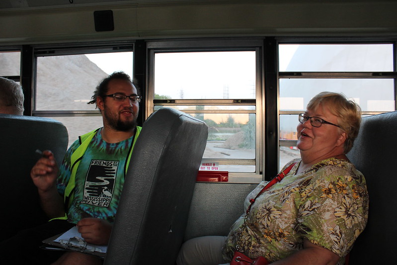 FMR staff, Daurius Mikroberts, and Northside resident Joanne Goddard (right) on the ride back from Upper Harbor Terminal on the bus ride back to the original meeting spot.
Next steps
Information collected on the walks will be shared with community members, agency staff, nonprofit partners, elected officials and funders who live and/or work on and around the Upper Harbor Terminal site. FMR will also use it to advocate for improved bicycle and pedestrian connections between the North Minneapolis community and the Mississippi River.
If you would like to know more details about what we heard during the walks, please see our notes for the September 12, 2017 and September 21, 2017 walks.
We also have more photos! Check out the event albums.
Get involved
Are you interested in being a part of FMR's work in North and Northeast Minneapolis? Sign up to be a River Guardian and be sure to indicate that you are interested in local river issues.
For more about Upper Harbor Terminal, follow our UHT Twitter account, check out our blog, or contact Colleen O'Connor Toberman, River Corridor Program Director, at ctoberman@fmr.org or 651-222-2193 x29.
Thank you!
Funding for this project was provided by the Center for Prevention at Blue Cross and Blue Shield of Minnesota. We would also like to thank our event partners, the city of Minneapolis and the Minneapolis Park and Recreation Board, for helping to plan and host the walks including guided tours of the Upper Harbor Terminal site!