Land Use & Planning

Land Use & Planning
What's your city planning for its riverfront? Find out and weigh in.

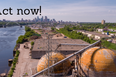
Cities up and down the metro Mississippi are busy finalizing their local river corridor plans, but there's still time to weigh in. Some deadlines to submit comments are fast approaching, including July 17 for Cottage Grove and July 22 for Minneapolis. Learn where your city's at in its process and how you can have your say in the shape of your future local riverfront. >>

Read more
View from River Oaks in Cottage Grove
Is it time to remove dams from the Mississippi river gorge?

Dam removal discussions are ramping up in the Twin Cities, and for good reason. Just as the Army Corps of Engineers embarks on a study to determine future ownership and operation of the locks and dams in Minneapolis and St. Paul, our local Mississippi river gorge was named to the 2018 list of American Rivers "10 Most Endangered Rivers."

Learn more, including FMR's position and recent media coverage. >>

Read more
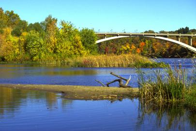
Ford Dam below the Ford Bridge in St. Paul
Save River Heights Park... again.

Just eight months ago, FMR teamed up with neighbors to help save River Heights Park in Inver Grove Heights.

Now the park is on the chopping block once again. And the neighbors and FMR are back in action. >>

Read more
A picture of River Heights Park
Special Places: The Central Mpls. riverfront

To celebrate our 25th year, each month in 2018 FMR staff will profile places along the metro Mississippi River that are near and dear to us, places that connect to FMR but that we also enjoy in our own downtime. By the end of our silver year, we'll have built a map of 25 special river places for you and yours to learn about, visit and enjoy.

This month: Minneapolis’ Central riverfront.

Venture along with us to a few downtown Minneapolis riverfront icons — Nicollet Island, the Stone Arch Bridge and the Mill District. Many of you have been here before, but along the way, we'll be sure to point out lesser-known spots and facts and the scoop on changes to come. >>

Read more
Downtown Minneapolis glows along the Mississippi at the end of the Stone Arch Bridge.
Special Places: Minneapolis' riverfront Above the Falls

To celebrate our 25th year, each month in 2018 FMR staff will profile places along the metro Mississippi River that are near and dear to us, places that connect to FMR but that we also enjoy in our own downtime. By the end of our silver year, we'll have built a map of 25 special river places for you and yours to learn about, visit and enjoy.

This month: Minneapolis’s riverfront Above the Falls.

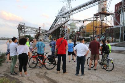
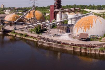
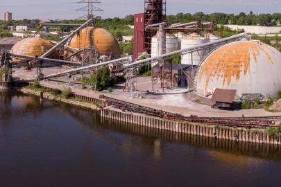
The Minneapolis riverfront north of St. Anthony Falls is an interesting juxtaposition of the natural, urban and industrial. Here you can enjoy bike and pedestrian trails, or rent a kayak to see a heron rookery, restored prairie, riverfront raingarden parks and sculptures, as well as industrial relics. You'll also want to visit often over the next decade to experience the changing riverfront, as more industrial sites are converted into public parklands.

Read more
View of downtown Mpls from the Lowry bridge

Pages

Upcoming Events

Wednesday, December 11, 2024 - 6:00pm to 8:00pm
Friends of the Mississippi River office in St. Paul
This school year
In your classroom or outside